Rocky peaks of Vardhousia range coloured pink at sunset

E4 to Disaster: Vardhousia Trail

Epiniana to Ano Mousounitsa (Athanasios Diakos)

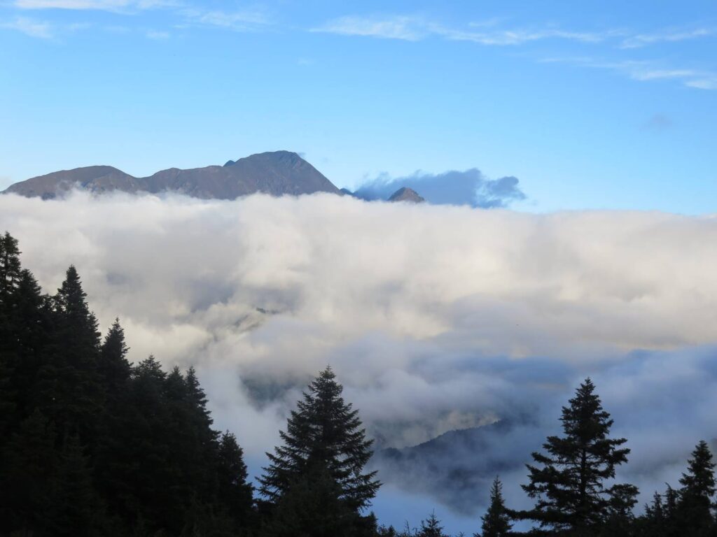
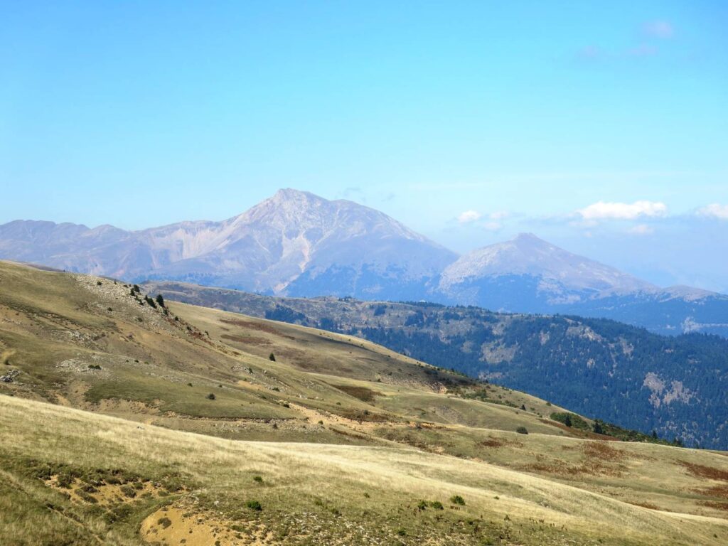
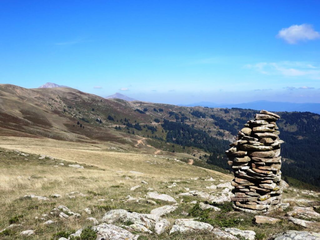
“Take the road. The old path is far too tiring,” we were frequently advised. For the older generation of rural Greeks, following the ancient paths was part of the backbreaking labour of everyday life, to be avoided wherever possible. While younger Greeks are now rediscovering their wonderful mountain areas, I suspected that the bureaucrat who devised the E4 European route through Greece belonged to the “too tiring” school of thought. So the E4 mostly followed roads, and the challenge was to find more scenic routes along the mountain tracks and paths.

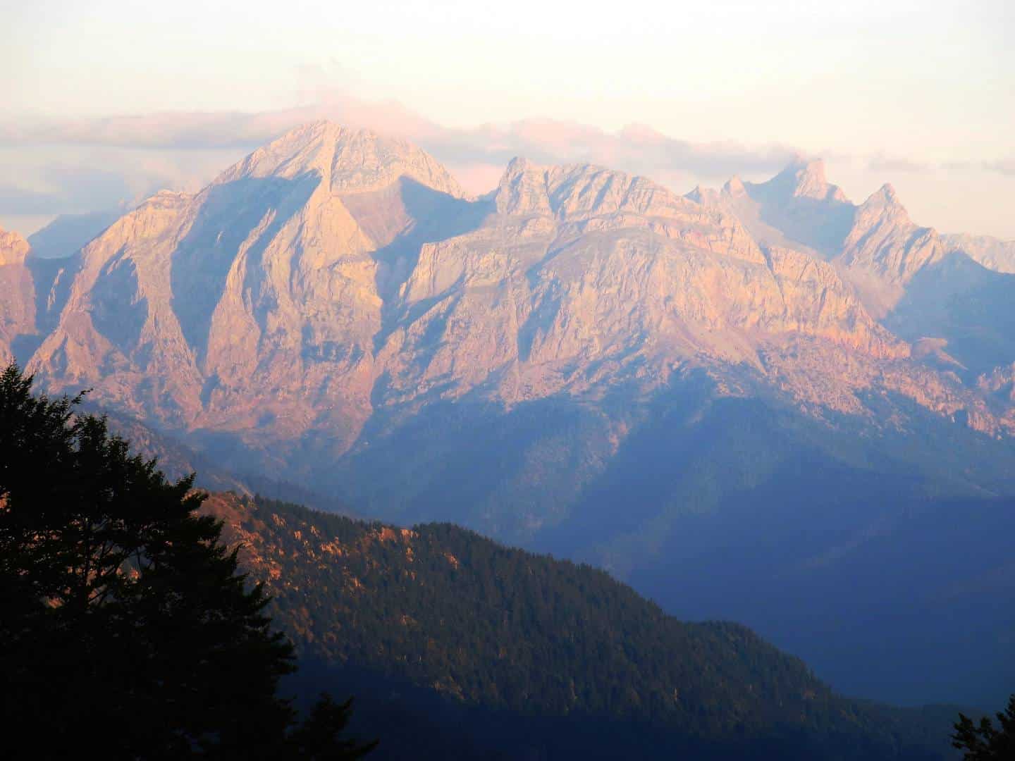
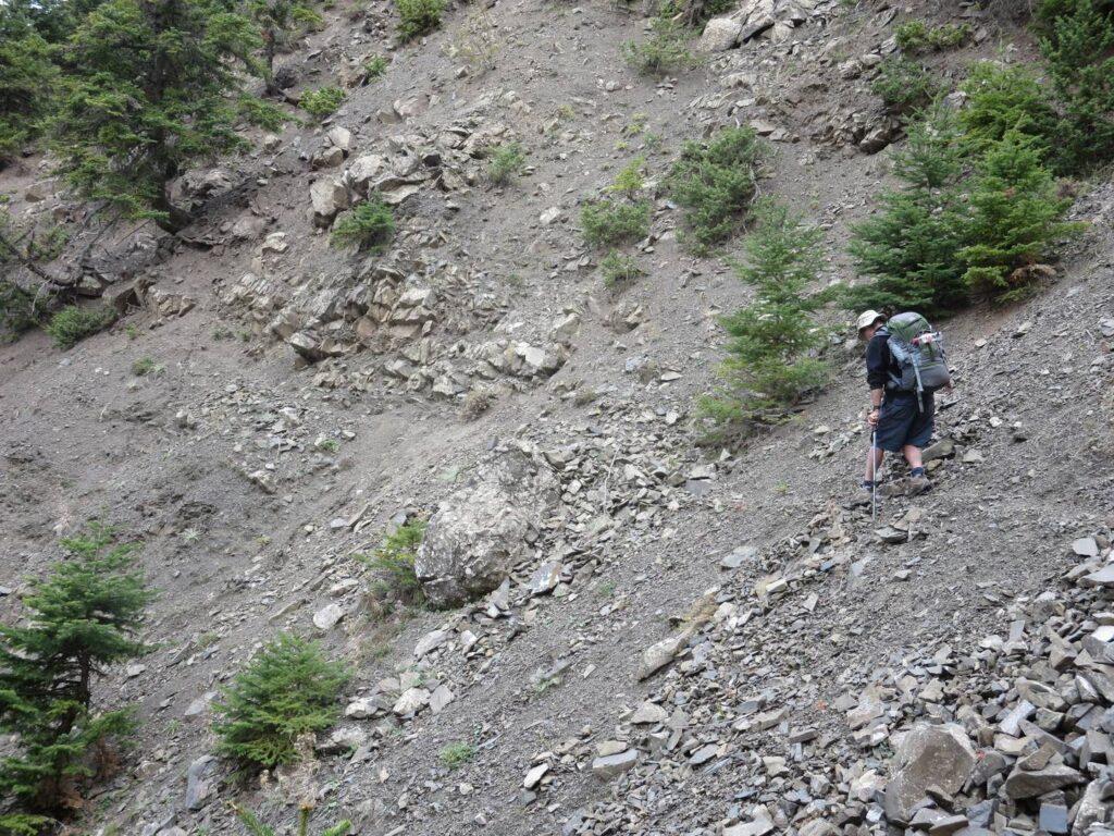
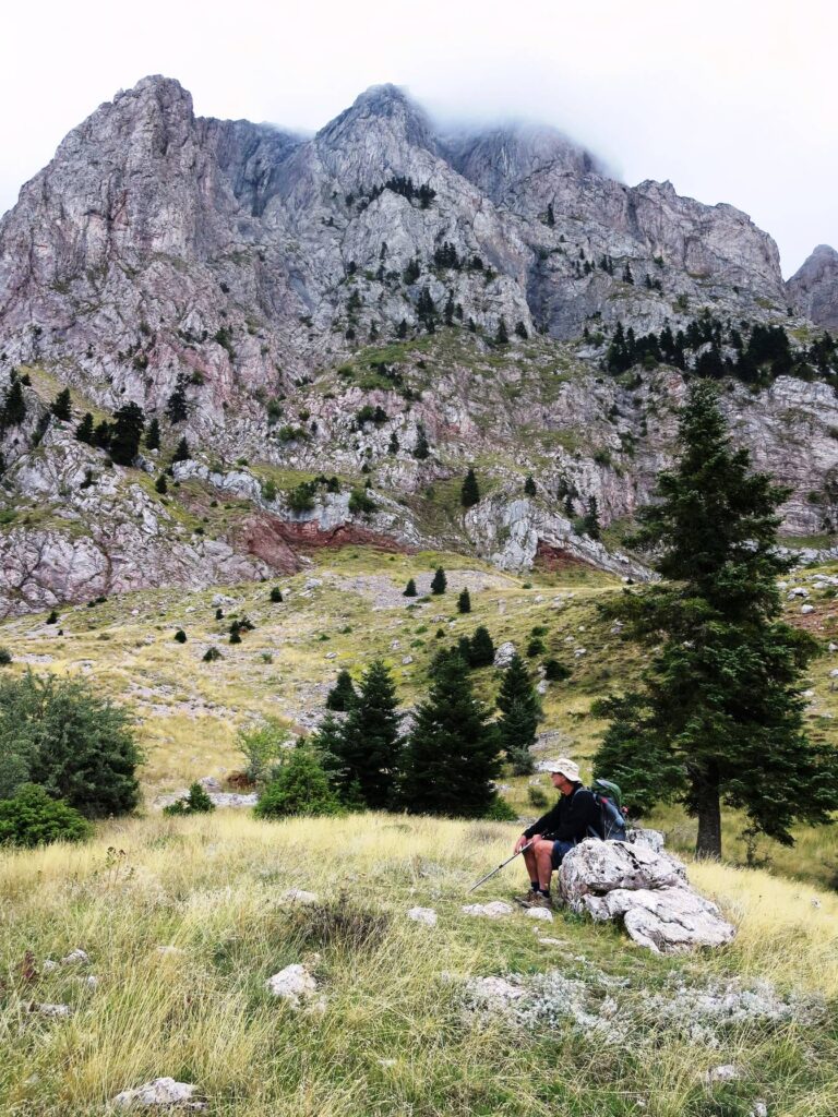
Yet it was on the beautiful off-road stretch of the E4 between Artotina and Ano Mousounitsa that disaster struck, nearly bringing our hike to a sudden end. It had been a difficult trail below the dramatic peaks of Vardousia, and we were just emerging from the trickiest part, when Alan slipped and fell down the scree slope.

Route: Epiniana, Varvariadha, Klopoukitsa, Kerasochori, Nea Viniani, Stenoma, Karpenisi, Kokkalia, Saradena ridge, Grameni Oxia, Artotina, Ano Mousounitsa (aka Athanasios Diakos).

Track to Klopoukitsa in the Agrafa, through deserted mountains and forests
Along forestry tracks through the Western Agrafa – longer but much nicer than the E4 along the road.

Athanasios Diakos 330 53, Greece

Sello campsite: Looking down on thick clouds over  the valley
Early morning at Sello, after the thunderstorm
E4 grassy track from Kerasochori
Back on the E4, on and off the road to Viniani
The trail to Stenoma over the Tavropos stone bridge,, with pebble beach.
Bridge over the Tavropos
E4 to Stenoma: stone bridge over Tavropos in gorge
Looking down on the bridge
Stenoma mule track: cobbles of old path mostly hidden under leaf fall.
Occasional cobbles still visible along the mule path to Stenoma
Track to Karpenisi: Bare rocky mountains above pines with hiker
Track to Karpenisi
Saradena ridge: cropped grass with bare rocky mountains beyond
Saradena ridge. Warning clouds already visible.
Checking the map: Saradena ridge with dark blue mountains beyond
Saradena ridge
Saradena trail: Tall cairn marking the way on the ridge,
Saradena ridge: waymark cairns
Two large guard dogs protecting the sheep: a hazard of hiking in central Greece
Guard dogs: ready to defend their flocks of sheep against wolves – or hikers.
E4 from Artotina: hiker on grassy path through woods with peaks in cloud
E4 from Artotina towards Vardhousia, easy at first.
E4: peaks of Vardhousia in cloud with pine tree in foreground
Vardhousia peaks
E4 below Vardhousia: faint path over scree with hiker.
Difficult finding the way along the scree slopes
E4 trail below the sheer Mount Vardhousia peaks, with hiker sitting on a rock with grass and scattered pines.
Past the worst – and then disaster!

Travelling Slow

Proudly powered by WordPress