Which Greek Trail?
This outline of mostly long distance hiking trails in Greece is based on my own experience over the past ten years. It isn’t comprehensive, and doesn’t account for changes, such as new roads. There are trails to suit every level of fitness and experience: check out my suggestions on how to choose the best trail for you.
THE CRETAN WAY
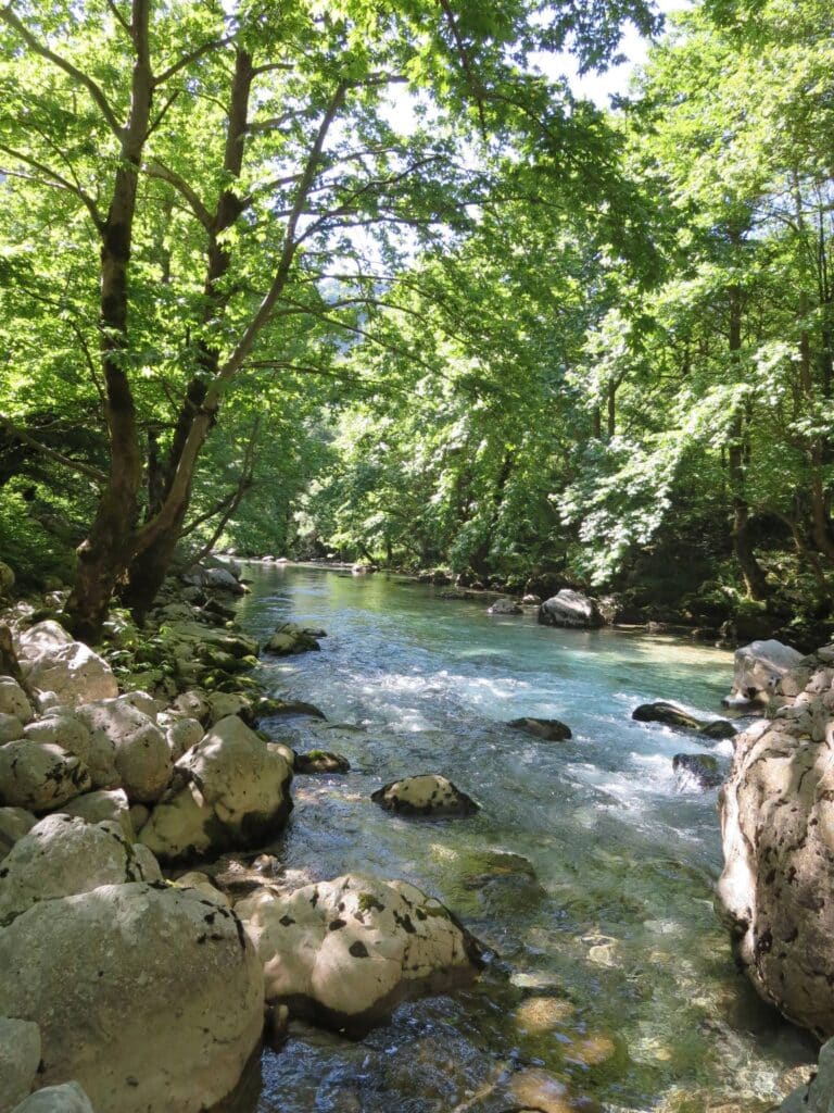
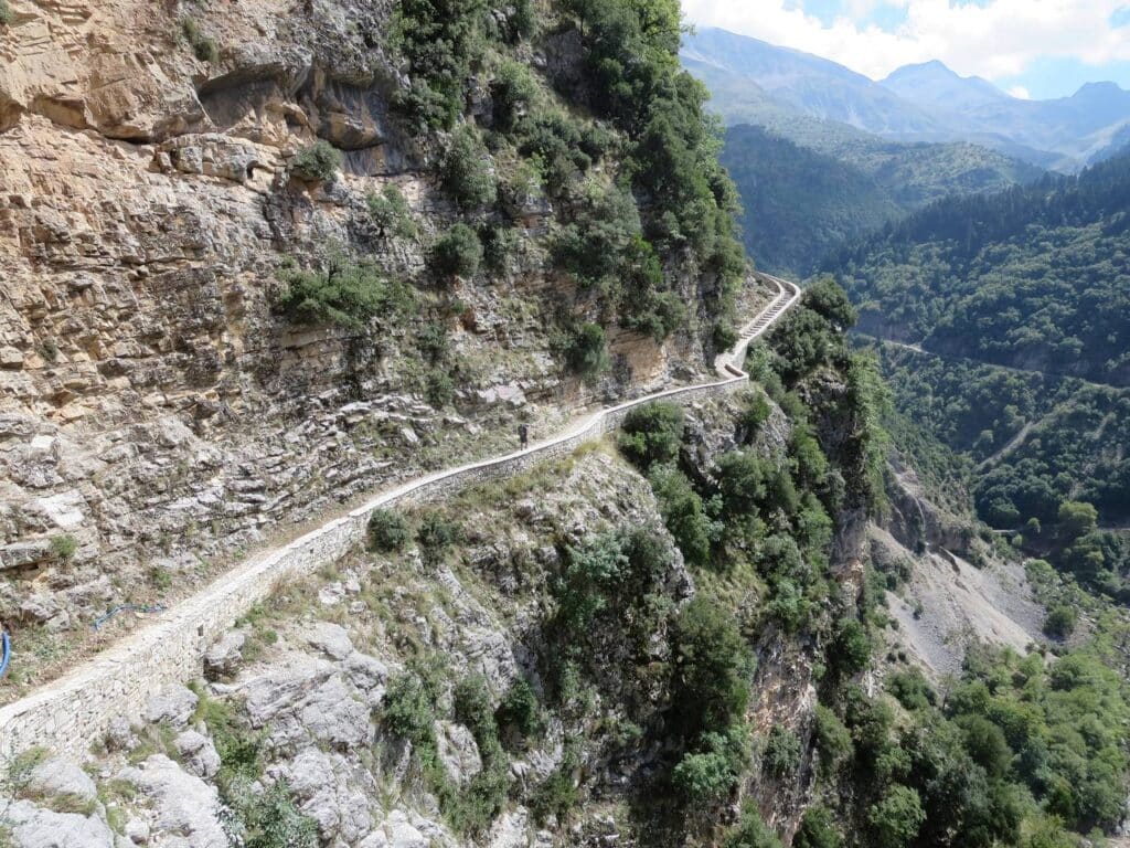
500 km, usually from East to West of the island, although we walked it the “wrong” way round, starting at Kissamos in the North West. The route roughly follows the long distance European E4, with some waymarking. Parts, such as the ascent of Psiloritis (1852 metres) is challenging, and snow bound in spring: it’s not hard to work out an alternative route. There’s plenty of variety: remote mountain landscapes, spectacular gorges, rural peace, coastal paths and deserted beaches. But tourist luxury (and overdevelopment) is never far: there were 4.7 million visitors in 2022. We started at the end of April, and took about 6 weeks. By early June it was getting too hot. Autumn is also possible.
See The Cretan Way. Luca Gianotti. Anavasi 2016. Excellent guide book, including maps, the author’s diary and bibliography. Anavasi publish maps of some but not all areas.

THE CORFU TRAIL
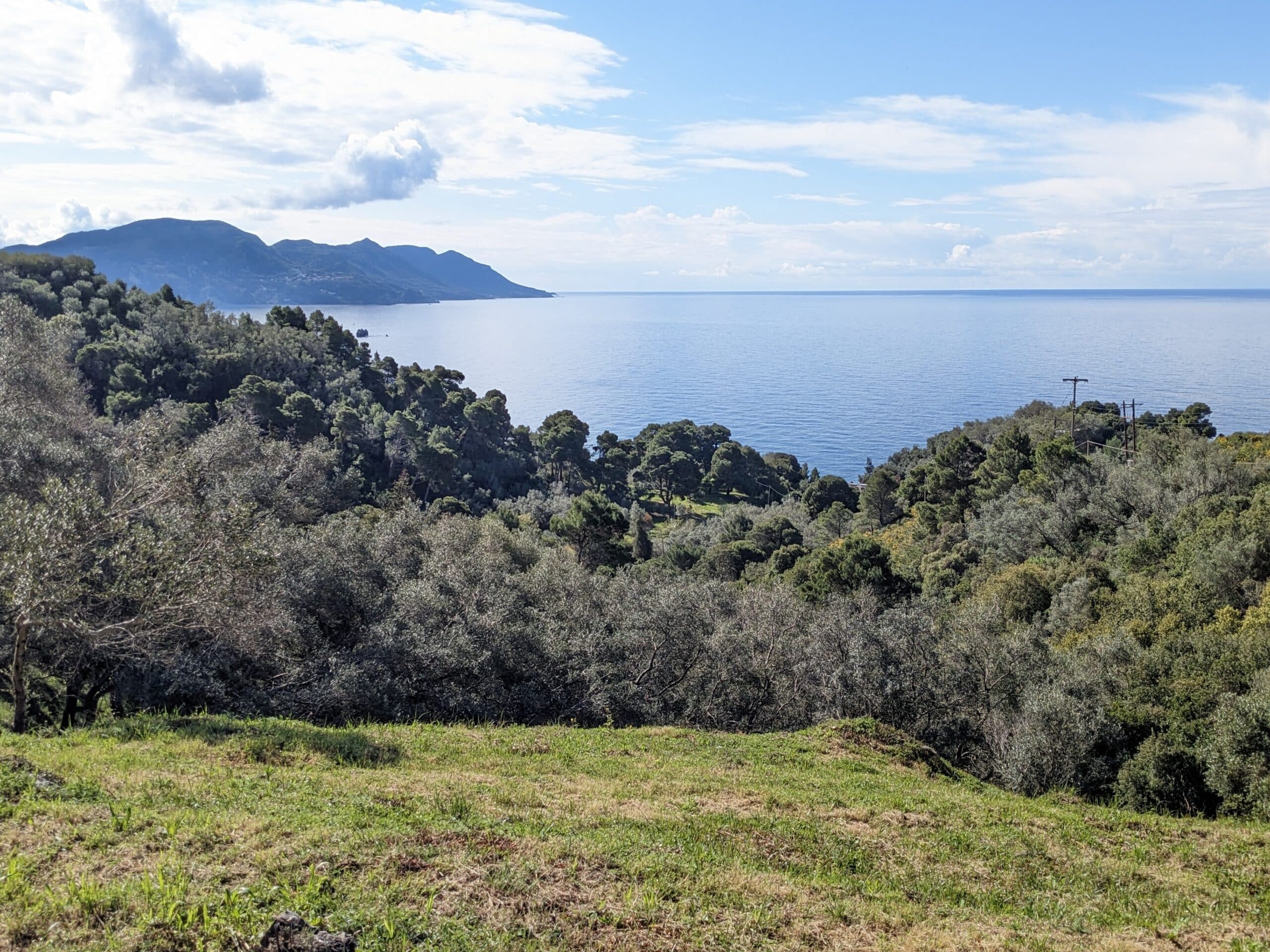
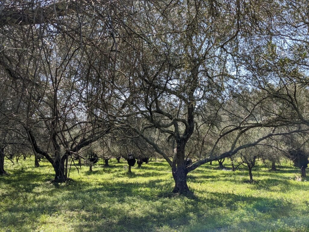
150 kilometres. Ionian Islands. Well waymarked, with a good choice of places to stay, although accommodation and tavernas may be closed before the season starts in May. The trail meanders through the unspoilt hinterland, through forests of tall olive trees, dipping down to the coast from time to time The last two days over Mount Pantokratoras (900m) are the most challenging. English is widely spoken. Corfu was a British protectorate for fifty years in the nineteenth century and has long been a favourite of British tourists. Try the ginger beer! Excellent introduction to hiking in Greece, lovely beaches, good for less experienced hikers.
See Walking and Trekking in Corfu. Gillian Price. Cicerone. Reprinted 2022. Corfu Trail topoguide app for mobile phones. Map, information and GPS location. Corfu. Anavasi map. Paper copy and app.
THE E4 AND E6 EUROPEAN LONG DISTANCE PATHS
The E4 is 10,000 kilometres long, starting in Tarifa, southern Spain, and crossing ten countries to finish in Cyprus. We have walked parts in southern Spain, mainland Greece and Crete. The E4 in the Peloponnese is relatively well-maintained and waymarked.
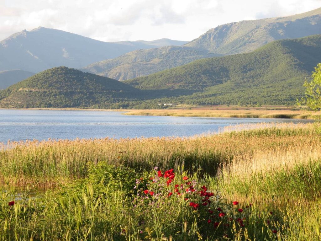
The E6 runs from Finland to the Slovenian coast, then after a gap, it resurfaces at the Greek port of Igoumenitsa and continues through northern Greece to the Turkish border. We followed it occasionally in northern Greece. My favourite section was from Florina to the Prespa Lakes. The European trails vary tremendously, and sometimes seem non-existent on the ground; all too often they follow roads. In Greece, the mountaineering clubs do an excellent volunteer job in maintaining and waymarking the routes, but it’s important to check the condition and difficulty of any section first.
NATIONAL TRAILS
There are 19 national trails in Greece, all designated with an O. However, more than half of these are still at the planning stage. The local Greek mountaineering groups are usually responsible for maintenance and waymarking, on a volunteer basis. We have hiked parts of the O1, O3, O32 and O36 and have usually found them in good condition.
The three established long ones are:
- O1, connecting the E6 and the E4
- O2, from Mount Olympos to Pelion.
- O3, from Gramos to Ioannina.
Other shorter ones are:
- O22 Parnassos to Parnitha
- O31 Patras to Ancient Olympia
- 032 Vytina to Kardamili
- O35 Chelmos to Ziria
- 036 Dimitsana to Methoni.
The last four short ones are all in the Peloponnese. The O32 is fairly well-established.
MENALON TRAIL
75 km. Altitude 420-1550m. Arcadia, Peloponnese. From Stemnitsa to Langadia. Mountains, alpine meadows, forest and rivers. Dimitsana and the river Lousios are spectacular. Fairly good accommodation options. Interesting short trek, little known, but not too remote or challenging.
See the Menalon Trail website. Good information, including section by section and links to the Anadigit map and topoguide for mobiles.
THE PELOPONNESE AND PINDOS WAY
Total just under 700 km, Peloponnese section 150km, Pindos section 540 km. Developed by Tim Salmon and Michael Cullen for the Cicerone guide, based on both the E4 and national footpaths. The Pindos section especially is little known and with spectacular scenery. It is also the most challenging and takes an estimated four weeks. It is remote, rather than technically difficult, and you need to be prepared to camp.
Trekking in Greece: The Peloponnese and Pindos Way. Tim Salmon and Michael Cullen. Cicerone 2018. Anavasi maps (paper and digital) cover most of the route.
LOCAL TRAILS AND POPULAR HIKING AREAS
There also many local footpaths in mountain areas, which are good for day hikes, or can be put together for longer trips. A few areas have seen the potential of hiking tourism and actively promote local networks of paths. Two notable areas are:
The Zagoria, in Epirus, North West Greece, including Mount Timfi and the Vikos Gorge. See Walking and Trekking in Zagori. Aris Leontaritis. Cicerone 2019.
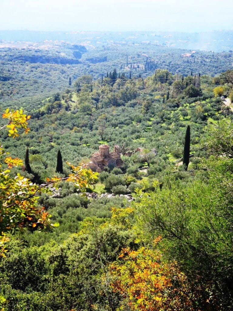
Kardamili, in the southern Peloponnese. Byzantine wayside churches, mountain villages and stunning coastline. See Southern Peloponnese Walking Guide. Michael Cullen. 2019. Sunflower Books.