Cool hiking up the Koubourianitikos river bed

Up the Koubourianitikos river

Matsouki to Leondito

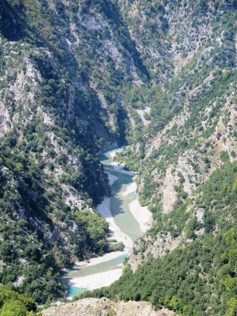
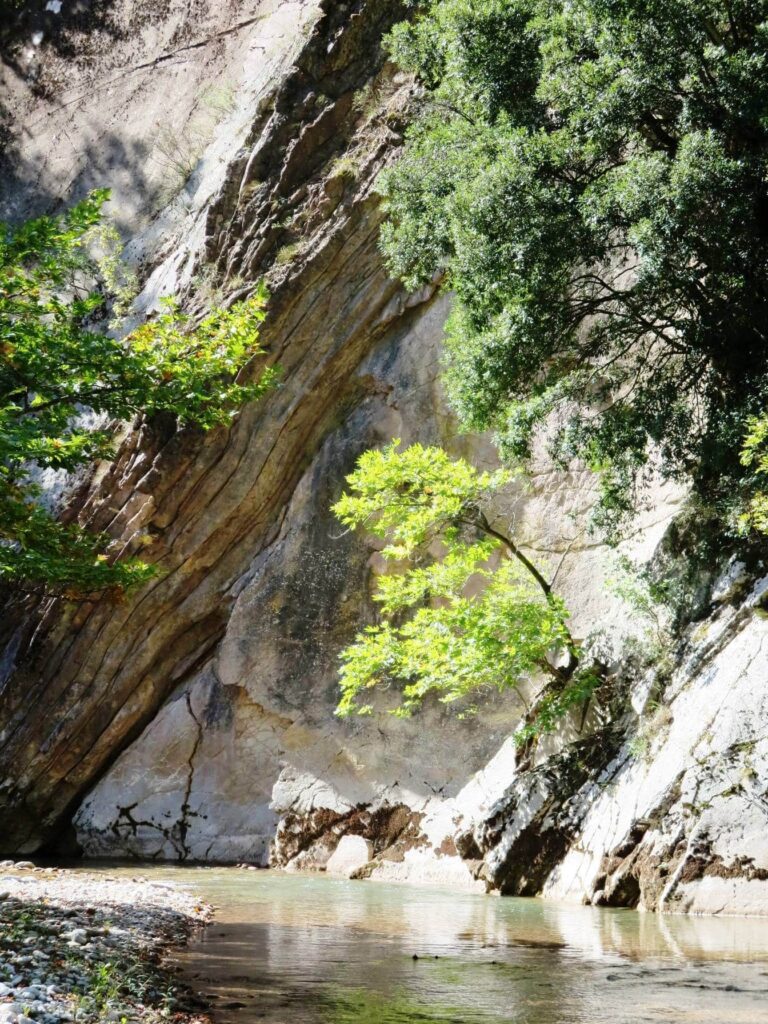
The water of the Koubourianitikos river was running clear. If it had been raining upstream, it would be brown and muddy. Alan was still worried: “We’ll get wet and have to wade up to our waists…” We were staring out at the desolation of the Acheloos dam, with its vast earthworks, pylons and a tunnel to divert water down to the fertile plains of Thessaly. I couldn’t wait to escape. So we headed up the river, crossing again and again, not bothering to take our boots off, the water cool and soothing on our feet. All was peaceful, with not a house in sight – until the sound of a church service broadcast by loudspeaker boomed out from the Spilias monastery on the cliffs high above.

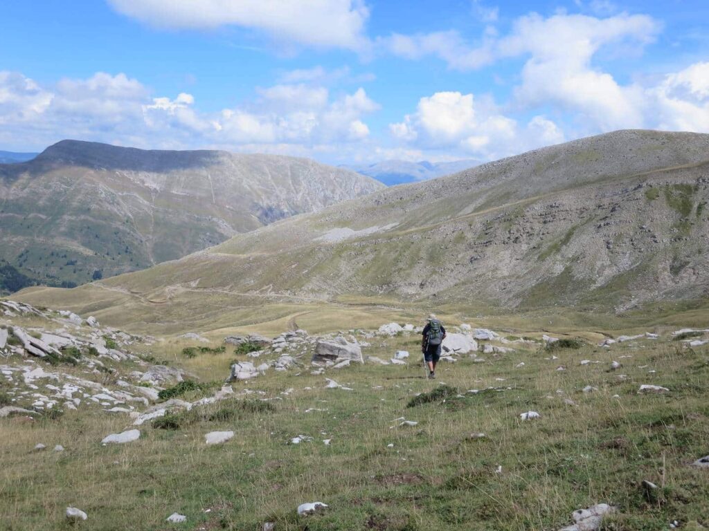
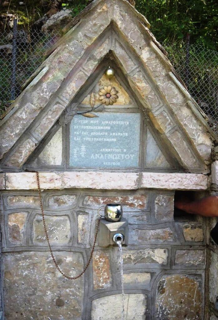
After crossing the high pass over the desolate mountains above Matsouki, it had been an easy walk through the hamlets along the Acheloos river, past the Mesochora Dam and signs protesting “No Acheloos Diversion”. We were now well into autumn, the summer visitors had gone and even the few guest houses and cafes were no longer reliably open: it depended on whether the owners had more pressing business elsewhere. Supper at the occasional café or guest house was usually a family affair, with ourselves the only strangers. After the meal, all would gather round our maps to advise on the proposed route.

Route: Matsouki, Tzourtzia (aka Aghia Paraskevi), Gardiki, Athamania, Armatoliko, Mesochora, Kali Komi, Petroto, Leondito.

Lone hiker coming over the wild bare ridge of Kakarditsa pass
Coming down from the pass, from Matsouki to Tzourtzia
Simple wooden footbridge over stream above Tzourtzia
Bridge on the way to Tzourtzia
Ugly earthworks and dam above the lovely Acheloos wooded valley
The Acheloos River with the Mesochora dam
Hiker crossing the derelict Mesochora bridge with its surface destroyed in places
Tricky crossing over the old bridge to Mesochora
Downstream from the Acheloos bridge. In summer you could walk across.
Easy walking on dirt road from Mesochora to Kali Komi with magnificent scenery
The track from Mesochora
Water source: Tap and mug at de-luxe village water spring, Kali Komi
Luxury village water source with mug
Acheloos river far below in rocky gorge, between Kali Komi and Petroto
The Acheloos between Kali Komi and Petroto, far below the road.
Large billboard of Christ showing the way to a wayside church, between Kali Komi and Petroto
Billboard promoting a wayside chapel
Petroto church: typical campsite with lightweight tent
Campsite beside the church at Petroto. Excelllent cafe, “The Monopoly”, run by the village school teacher.
Building the Acheloos dam: hideous moonscape earth works
Dam and earthworks near Petroto, even worse than at Mesochora. What a relief to escape up the river!
Koubourianitikos river upstream: cool and shady walk under trees along the river
The Koubourianitikos River
Sternbergia: flowers like large yellow crocuses all along the Koubourianitikos river
Sternbergia, like giant crocuses
Koubourianitikos river: tree by cool river pool
Koubourianitikos River
Upstream the Koubourianitikos river narrows and the path disappears. You walk in the water along the river bed.
Koubourianitikos River upstream

Travelling Slow

Proudly powered by WordPress